Tsunami
Although tsunamis are infrequent in the USVI, several active tectonic sources capable of producing powerful tsunamis lie in close proximity to the Territory. The location of the source relative to the Territory is important for understanding how quickly waves will arrive onshore and the impacts they will have.
Tsunami in the U.S. Virgin Islands
What Is A Tsunami?
A tsunami is a series of long waves generated by a sudden displacement of a large volume of water. Tsunamis can be generated by volcanos, landslides, and the most destructive source, a release of pressure between tectonic plates of the earth’s crust as they slip on a relatively thin layer of jelly-like material floating on the molten rock about 60 miles below the surface. This slip (often associated with an earthquake) releases energy stored from tension prior to the slip and displaces a large volume of water creating a tsunami.
Although tsunamis are infrequent in the USVI, several active tectonic sources capable of producing powerful tsunamis lie in close proximity to the Territory. The location of the source relative to the Territory is important for understanding how quickly waves will arrive onshore and the impacts they will have. In this section, we examine several potential near-field sources and their impact on the USVI shoreline.
Although the risk for tsunamis in
the USVI is small, it is real.
Hazard History
According to the National Centers for Environmental Information (NCEI) Global Historical Tsunami Database the most notable tsunami on record to hit the USVI, and the largest recorded runup in the Caribbean region occurred November 18, 1867. The source that produced this powerful series of waves was located at the bottom of the ocean between St. Thomas and St. Croix. The event generated a series of waves the first of which reached shore between 5-15 minutes. In Charlotte Amalie reports indicate water rapidly receded from the shoreline by 10 m followed by waves of 6 m. In St. Croix waves of up to 9 m were reported and in Christiansted, waves incurred 91 m inland (Lander 2002).
The Advanced National Seismic System (ANSS) earthquake catalog indicates 347 earthquake events with > 5 Mw magnitude since the year 1900 (Moore 2018) in the region with 7 recorded major tsunami Table 1 (Moore 2018). Although not all listed earthquakes in the earthquake catalog are tsunamigenic, the large number of seismic events highlights the activity in the region. Short travel times (several minutes to several hours) for tsunami generated within the region make early warning and hazard planning essential to minimize loss of life.
Table 1. Regional tsunami deaths for the Caribbean, from Moore 2018 (Moore 2018)

Climate Change and Variability
The impacts of sea-level rise on tsunami inundation is complex. A simple ‘rule-of-thumb’ is that SLR will produce the added equivalent level of inundation but this only partially represents the risk of higher sea levels on tsunami inland flow. Flow dynamics change as water levels rise and sources of friction (which modify water speeds) vary by depth. Although the impact of SLR on tsunami inundation and damage is complex and calculations are not currently available, SLR will lead to smaller tsunami generating events having more impact. A projected sea-level rise of 50 cm by 2050 could significantly change the impact of a tsunami on the USVI.
Hazard Frequency
Similar to an earthquake, a tsunami is generated by geological processes that although destructive are infrequent on a human timescale. In the USVI only one reported fatal tsunami occurred in 1867 causing 24 fatalities and although the Territory may be impacted by tsunamis generated by very distant sources (1755 event off of Portugal) the most damaging sources lie close to The Territory. The close proximity of most of the potential tsunami sources means little advanced warning before a destructive wave reaches shore which translates as less time for evacuation of the coastal zone. Short warning times combined with population centers on the coast and tourism focused along the shoreline means the coastal zone of the USVI is exposed to the destructive and deadly power of tsunamis.
Hazard Challenges (how it manifests in the territory)
Contrary to popular perception, a tsunami is not ‘a’ wave, but a series of waves that strike the shore. The first wave to arrive does not necessarily cause the most inundation or damage and the majority of damage, death and injuries are not the result of inundation alone but rather the series of fast-moving waves that sweep through the inundation zone carrying away people and debris. As waves strike the shore and move inland, they carry with them debris that includes automobiles, building materials and marine debris. This debris can be pulled back through the inundation zone as the waves retreat or it may encounter the next series of waves driving the debris farther inland. While both the flow of the water and depth are important factors, flow is a dominant factor in tsunami damage and fatalities.
Tsunami simulations were conducted for potential sources near the USVI. The simulations depict waves emanating from the source and the estimated shoreline arrival times. Note the simulation videos depict inundation inland increasing as a series of waves reach the shore. These waves reach the major population center and infrastructure (Cyril E. King airport, Charlotte Amalie) on St. Thomas. Simulation videos are provided by NOAA (Moore et. al 2019).
St. Croix - simulations based on a Mw 7.8 event at the source of the 1867 tsunami
St. Thomas - simulations based on an 8.7 Mw event in the Puerto Rico Trench Source
St. John - simulations based on an 8.7 Mw event in the Puerto Rico Trench Source
Mapping the Tsunami Hazard
Maps depict “max flow” for the tsunami inundation zone. Max flow represents the composite inundation or total inundation of all the waves that reach the shoreline for the events shown in the video simulations. Maps are interactive and include the zone of inundation as well as critical infrastructure and other features.
Some Recommendations For Mitigation
Tsunami early warning systems and evacuation planning are key to reducing loss of life.
Atlantic/Caribbean network of early warning sensors began expanding since the 2011 Tohoku earthquake and tsunami, however, in the case of very near field sources, ground shaking may be the best early warning.
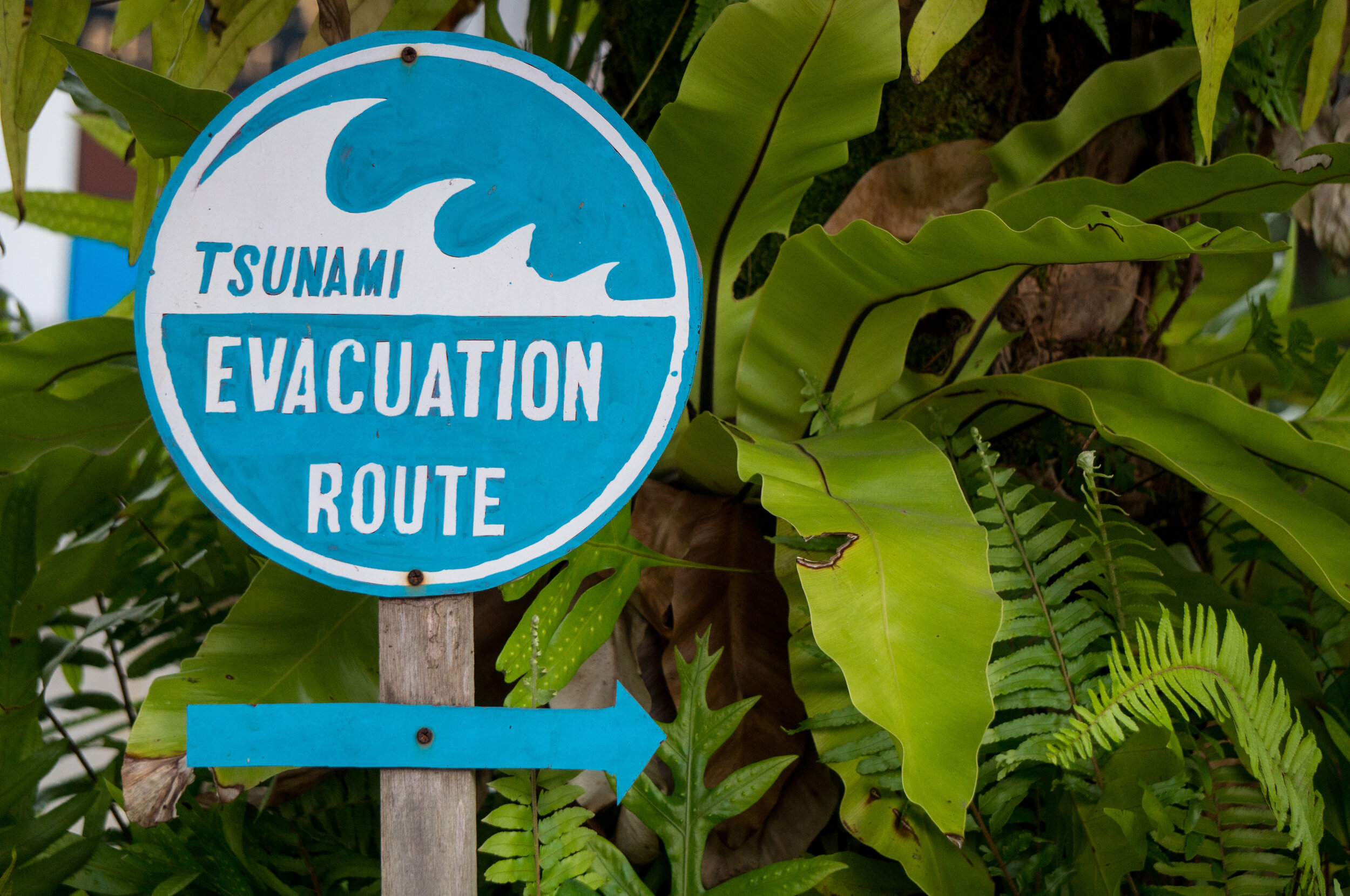
Tourism in the coastal zone adds a potentially large and uninformed population. Carefully prepared messaging and signage pointing to evacuation routes can help save lives.
Using HMRP maps, engage local community leaders to formulate more precise local tsunami evacuation routes and tsunami meeting zones for local residents. Make local residents aware of meeting zones and routes. Provide proper signage.
